Using very thick wooden boards as the basis for my map proved one major problem for me. When it came to transferring the map I had drawn on the eight pieces of A4 to the board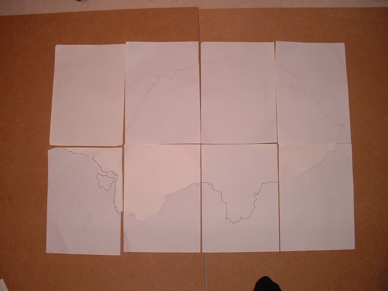 I realised that I would be unable to trace the map onto the board. Yes this may seem like an obvious thing to most but it wasnt until I actually came to this step that I realised the issue.
However, not to worry for I came up with a cunning plan. As always, a cunning plan arises at the time of peril, or something like that. Anyways, the plan I concieved was to trace the map onto some new pieces of A4 (so to preserve the origionals) and then cut the copies out and use them as templates.
I realised that I would be unable to trace the map onto the board. Yes this may seem like an obvious thing to most but it wasnt until I actually came to this step that I realised the issue.However, not to worry for I came up with a cunning plan. As always, a cunning plan arises at the time of peril, or something like that. Anyways, the plan I concieved was to trace the map onto some new pieces of A4 (so to preserve the origionals) and then cut the copies out and use them as templates.
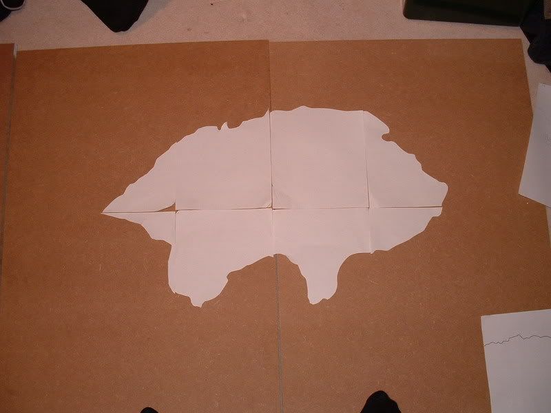
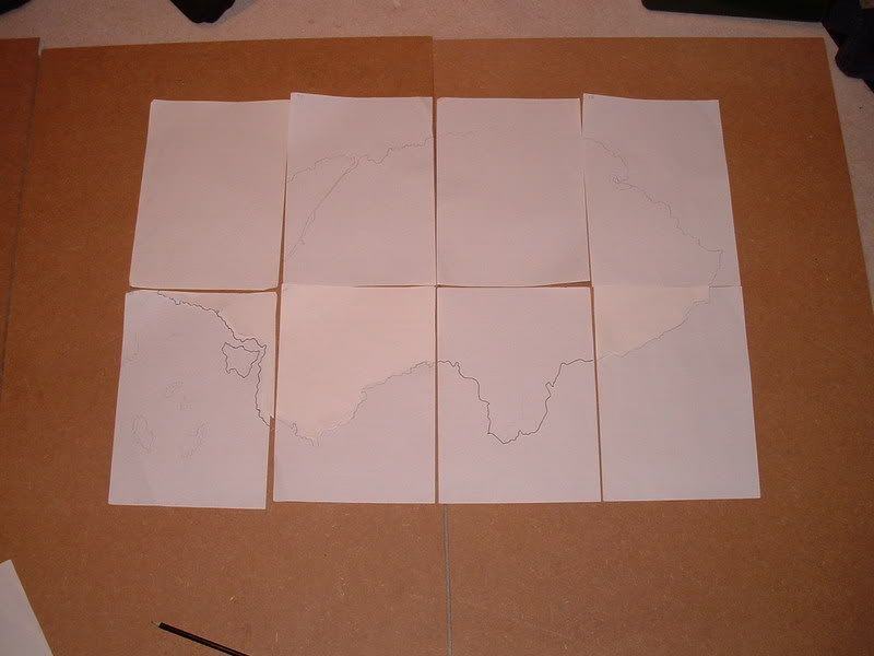
It's not all that easy to see from the first picture but I have overlayed some of the templates over the original map. After I had done a mask for each piece of paper I then removed the origional maps and layed the masks out next to eachother.
Once happy that the masks were in the right position I began to draw around the masks using the wavy line technique - as descriped in 'Drawing Land'.
The final result can be seen in the picture below.
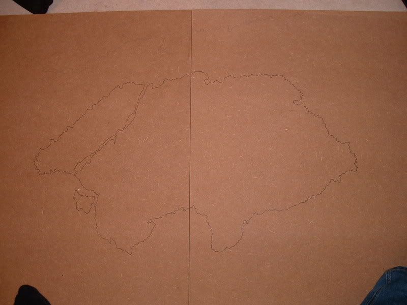
Also note from this picture that it is possible to see along the top the pencil markings I have put in for the start of the north polar land mass. As you can see many different types of land shapes can be created using this technique. However, it is also possible to simply draw the continents on free hand, though it may take more rubbing out on the final piece.
1. Starting the Map
2. Creating Continents
3. Outlining the Continent
4. Masking
No comments:
Post a Comment